More Pictures From the ISS

I’ll add more to this post as I get them.

The International Space Station is, once again, transmitting SSTV. They will be doing this for the first few days of August 2019. My radio and software will be running, during this period.

All images were received using an omni-directional discone antenna that is located on the roof of my house (not as high as it could be). The radio is a Yaesu FT-991A set to 145.800MHz with the squelch at zero (full static). I use a Windows 10 machine with MMSSTV software, version 1.13A. I also have a major tree with full foliage to the northwest of the antenna.

Card 11 of 12
Card 3 of 12
Card 5 of 12
Card 8 of 12
Card 2 of 12
Card 9 of 12

There were exactly five passes of the ISS, each day, in the afternoon into the evening, each approximately an hour and a half apart. Depending on when the transmissions started and ended, the noise was better or worse. It also depended, a lot, on the elevation of the ISS as it passed over. The discone antenna is pretty good at not having too many nulls in it’s receive, but that being said… they still exist, due to the mounting location and the surrounding obstructions.

I am very happy that I was able to receive the images that I did, honoring the late Owen Garriott (W5LFL), who was the first radio amateur to operate from space.

ISS Sent Me A Picture

On Saturday night, the International Space Station sent me a picture. They sent the picture to a bunch of other people, too, so it wasn’t personal. The big thing about this, is that it’s the first ever SSTV image that I’ve been able to receive from the ISS.

I know that it’s not the clearest image, by far, but the ISS was about 15 degrees above the horizon, in the southwest, when I received it.

The thing that I found really strange is that I started receiving their signal about 1:30 (one minute and thirty seconds) before it came over the horizon, and continued to hear it for about 1:30 after it went back below the horizon.

I hope to get some better images, in the future. Thanks to Jason (KC0GCG), the settings on the software that I use for tracking are now correct, and I won’t be missing most of the ISS passes.

Watching Tiangong-1 Fall

And… It’s gone. Crashed into the Pacific Ocean, right here.

It’s coming down faster, every day. My estimate is that it will definitely not hit North America, at all, though. Also, I am predicting that it will not come down to Earth south of the equator.

Space.com article. | Space.com update at 10am EST on 3/31/18.

It will re-enter the atmosphere on a northeast trajectory, just north of the equator. Most of the ground footprint will be near the equator, and just to the north of it. Central America (including Costa Rica, Panama, Nicaragua, El Salvador, and Honduras), Ecuador, Columbia, Brazil, Nigeria, Central Africa, South Sudan, Ethiopia, Congo, Kenya, Singapore, Philippines, and Malaysia will be the most likely “targets”, if it hits land. However, there is a much higher chance that it will land in the water, from what I see.

An update (10:00am CST on 3/31/18): The most recent prediction of the timeline for re-entry (by the European Space Agency and Aerospace Corp.) has moved it back by one day. They now say that it will be falling back to Earth on April 2. My updated prediction (which I actually thought through, yesterday) has the re-entry happening on April 3rd or 4th.Still no “exact” time, of course, but the rate of descent, no matter what the upper level atmosphere is like, looks to my like it will still be later than their predictions.

Another update (9:44am CST on 4/1/18): Looks like I was off. The latest orbit lost more altitude than I expected. Seems like the gravitational effects (and other factors) are just pulling it in faster, now. Although my timing may be a little off, the location that I predicted remains the same.

I’ve been watching the orbit, here. (at about 13:00 local time on 3/31, they changed the live tracking. It’s now in a small javascript image on the right side of the page.) I don’t watch it all the time, and the ones that I’ve recorded have some gaps between them. There are two bounces in altitude on each orbit. This will explain some consecutive highs on the table. The biggest dip in the low altitude seems to always occur on the “upswing” from the southern hemisphere, just as it crosses the equator.

The estimated re-entry altitude is about 120 km.

Date Local Time (CST) Altitude (km) Peak (high or low) / km from re-entry
03/28/2018 00:03 190.97 Low / 70.97
03/28/2018 08:52 189.46 Low / 69.46
03/28/2018 09:52  207.05 High / 87.05
03/28/2018 19:12 186.41 Low / 66.41
03/28/2018 19:41 201.86 High / 81.86
03/28/2018 20:11 206.00 High / 86.00
03/28/2018 20:40 186.09 Low / 66.09
03/29/2018 23:08 180.00 Low / 60.00
03/30/2018 09:52 188.18 High / 68.18
03/30/2018 10:25 195.93 High / 75.93
03/30/2018 10:53 176.55 Low / 56.55
03/30/2018 11:19 187.68 High /  67.68
03/30/2018 11:53 195.54 High /  75.54
03/30/2018 12:21 176.19 Low /  56.19
03/30/2018 23:37 190.27 High /  70.27
03/31/2018 00:05 172.09 Low /  52.09
03/31/2018 01:33 171.67 Low /  51.67
03/31/2018 10:50 183.06 High /  63.06
03/31/2018 11:48 165.48 Low /  45.48
04/01/2018 05:20 155.32 Low /  35.32
04/01/2018 06:20 171.86 High /  51.86
04/01/2018 06:48 154.60 Low /  34.60
04/01/2018 08:16 153.89 Low / 33.89
04/01/2018 09:42 147.60 Low / 27.60
04/01/2018 12:36 142.96 Low / 22.96
04/01/2018 14:03 140.67 Low / 20.67
04/01/2018 16:59 138.35 Low / 18.35
 04/01/2018 18:25 135.20 Low / 15.20

Interestingly, there is an app on the Google Play Store called “Tiangong-1?”. I have not tried it, but one of the comments in the reviews is classic:

“Terrance Huang
September 29, 2016
2 Likes
1 Star
crashes It just crashes. Android 6.”

Fun With SDR

A couple weeks ago, I got my first SDR (Software Defined Radio). I’ve been messing around with it, every chance I get, and I’m really liking some of the things it does. At first, I had it hooked up to a discone antenna on my lower roof, and it seemed to work really well.

Within the past week, I discovered ADS-B, which is basically data frames that are sent down from airplanes on 1090 MHz. The information sent includes altitude, location, speed, identification, and more. That information can be received by a program that decodes it, then another program will allow you to visually “see” the plane on a map. Even in the middle of nowhere, it’s amazing to see just how much flies over us.

I got into it so much that I wanted to build a better antenna, just for 1090 MHz, and put it in a better position on my roof. The other day, in under two hours, I had built a ground plane antenna for that frequency, and had it mounted and the wires ran to the SDR. It actually performs a lot better than the discone. Not sure if it’s because of the design or the location, though.

The antenna was built for receive only, so I wanted to see how it performed on other frequencies, too. Since there’s no transmitting, there’s no way I could hurt anything by listening. Amazingly, the antenna actually picks up the local 2 meter repeater better than the discone, too (which really makes me think it’s the mounting location difference).

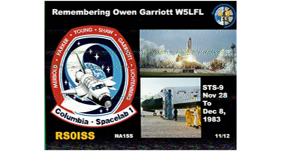
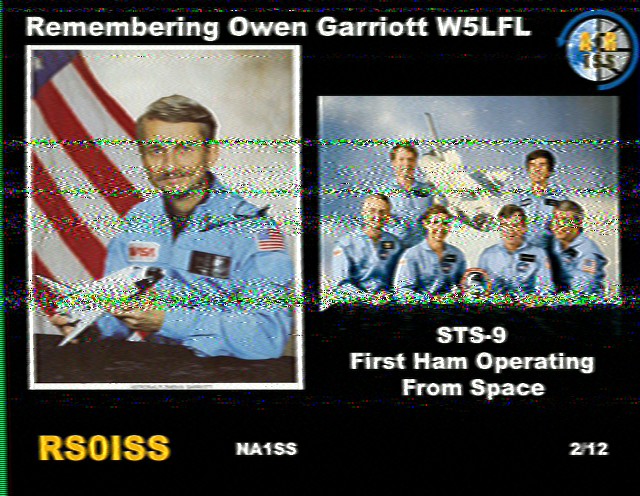
Yesterday, I wanted to see if I could also pick up any satellites or the ISS with it. I fired up the ISS Detector app on my phone, and started switching through different satellites as they passed over. The only thing I was actually able to pick up was a couple of NOAA satellites. I really wanted to catch the ISS (which passed over, almost overhead at about 10:20pm), but I wasn’t able to hear anything. I’m sure I’ll try again, when I have some time.

In other updates, I have been making more contacts on 10 meters, and started logging them on LoTW. I also sent my very first physical QSL Card. Chad – KD9AXO – asked me if I send them, and I told him that I wanted to, but haven’t done too much HF, and was waiting. He gave me the kick I needed to get something designed and printed. It wasn’t real pretty and not on as heavy of card stock as I wanted, but hopefully he understands. The funny thing is, the first QSL Card that I sent was for a 400 mile contact on 2 meters during a beautiful Tropo event. He was running 5 watts through a vertical, and I was going through the repeater. IMO, it counts.

UPDATE: Chad actually sent me a QSL card, as well. I received it the day after I originally posted this. He sent his out before mine even reached him, so they crossed in the mail. Very nice surprise!